
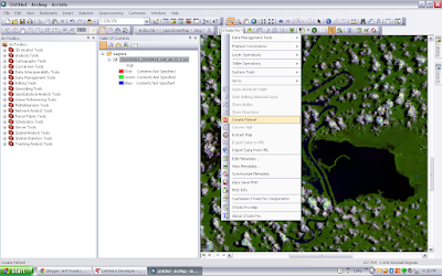
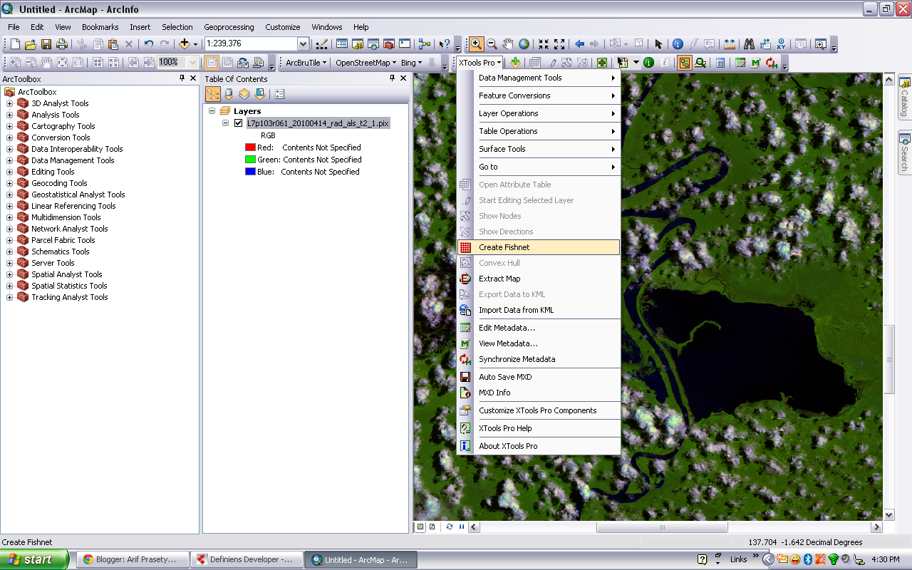
Create Fishnet with X Tool pro
Create Fishnet creates a feature class containing a net of rectangular cells. Creating a fishnet requires three basic pieces of information :


- the spatial extent of the fishnet
- the number of row and columns
- the angle of rotation
a. add the based map (background) > XTool Pro > Create Fishnet
b. Manage cell and coloum (size and value), product type (polyline or polygon)

c. Done :)


5 Komentar
Great, I found this tool too in Hawth tool, but my question is how can we decide the start point of this fishnet?
BalasHapusyap, this is another way. I can not use Hawth tool in arcgis 10.
BalasHapusstart point, u can manage it from 2nd step from this page.
Yam,i how can i get this tools? because i need it to make a grid like a fish net...can you send me it by email? trims..(muis.fjr.88@gmail.com)
BalasHapusyam setelah gw telaah lagi, yg step keduanya cuman buat nentuin mau berapa kolom dan baris doank dah, nah klo kita pingin bikinnya dimulai dari titik A gitu piye?
BalasHapuswuidih.. tela'ah... hahaha
BalasHapusyaudah jo, buat aja titik2 itu dulu [4 titi bersebrangan / 2 titik sebrang diagonal misalnya], abis itu langsung bikin fishnetnya. biarin dia dalam kodisi full extent